
Business Details
50+ Years
experience
Trusted Civil Engineering & Surveying Services in Grass Valley, CA
Since 1965, SCO Planning Engineering & Surveying has been a trusted partner for civil engineering, land planning, and surveying services in the Sierra Foothills and mountain regions. Our firm combines decades of technical expertise with deep local knowledge to deliver sustainable solutions for public and private sector clients. With offices in Grass Valley and Truckee, we specialize in navigating complex regulations and transforming visionary concepts into actionable projects. Our team's commitment to excellence, supported by long-standing relationships with local agencies and communities, ensures every project meets rigorous standards.From feasibility assessments to final construction documentation, we prioritize precision, innovation, and community impact. Our multidisciplinary approach enables comprehensive service delivery, addressing challenges in land development, infrastructure design, and environmental compliance. This enduring dedication to quality has solidified our reputation as a regional leader in engineering and planning solutions.

Services
Civil Engineering
Land Surveying
Subdivision Mapping
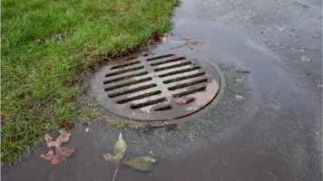
Stormwater Management
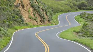
Roadway Design
Land Planning
Boundary Adjustments
Topographic Surveys
CEQA Compliance
Utility Design
Details
- Year established: 1965
Highlights and features
- We offer 60+ years of regional engineering and planning expertise
- Our team maintains deep relationships with local regulatory agencies
- We provide end-to-end project management from concept to completion
- Our staff includes certified professionals with specialized technical skills
- We combine global best practices with localized problem-solving approaches
Services
Civil Engineering
Our civil engineering team delivers comprehensive infrastructure solutions for residential, commercial, and public projects. We specialize in grading plans, roadway design, utility systems, and drainage solutions that meet regulatory requirements. With decades of regional experience, we create cost-effective designs that balance technical precision with environmental considerations while ensuring compliance with local building codes and safety standards.
Land Surveying
We provide precise land surveying services including topographic mapping, boundary determinations, and construction staking for development projects. Our ALTA surveys and legal descriptions support property transactions and development planning. Utilizing advanced technology, we ensure accurate data collection that forms the foundation for successful engineering and planning initiatives across diverse terrain types.
Land Planning
Our land planning services guide projects from concept to approval through comprehensive feasibility studies and entitlement processes. We develop master plans, subdivision maps, and CEQA compliance documentation that align with community goals. Our planners navigate regulatory frameworks to secure necessary permits while maintaining focus on sustainable development practices and community impact mitigation.
Stormwater Management
We design integrated stormwater management systems that address drainage challenges while protecting environmental resources. Our hydrology analysis informs site-specific solutions for erosion control, water quality improvement, and flood mitigation. These systems comply with regulatory requirements while enhancing project sustainability through innovative green infrastructure approaches tailored to mountainous terrain conditions.
Subdivision Mapping
Our subdivision mapping services support residential and commercial development through accurate parcel map creation and boundary adjustments. We prepare tentative and final maps that meet local jurisdiction requirements while addressing access, infrastructure, and environmental considerations. Our team coordinates with regulatory agencies to streamline the approval process for both small lot splits and large-scale master-planned communities.
Questions
What geographic areas do you serve?
We primarily serve the Sierra Foothills and mountain regions, including Grass Valley, Truckee, Nevada County, and Placer County.
What types of projects do you handle?
We work on residential, commercial, and public sector projects involving land development, infrastructure design, and environmental compliance.
How long has your firm been in business?
We've provided engineering and planning services since 1965, with our current team maintaining decades of regional experience.
What services do you offer?
Our services include civil engineering design, land surveying, subdivision mapping, stormwater management, and regulatory compliance consulting.
How do you handle regulatory requirements?
Our team has extensive experience navigating CEQA compliance, permitting processes, and agency coordination to ensure project approvals.